
Zion National Park
Make sure you bring an extra memory card for your camera, because nearly every square inch of this park is picture worthy. Two thousand foot tall sandstone bluffs seem irresponsibly tall, yet millions of people make the pilgrimage to climb these cliffs every year. Towering vertical walls feel like the world’s largest tunnel is missing its ceiling. It’s easy to see how some might feel religious in such an incredible natural sanctuary.
ORIENTATION
It’s no secret how spectacular the canyons here are, and the state of Utah promotes tourism here assertively. Over four million people visit these incredible canyons every year. Although the park is relatively large, only few venture from the main canyon or the trails that lead from it. Getting some time to yourself in this geologic palace requires an extensive hike and quite a bit of luck. Just outside of the park is the small adorable town of Springdale. All of the amenities you could need can be found in Springdale including hotels, restaurants, gas stations, and of course plenty of places to shop.
THE SHUTTLE
The valley is small and the number of parking spaces in the park are very limited, therefore from March to October a team of free shuttle busses run up and down the canyon and to all the major sights around the park. Personal vehicles are not allowed to drive through the main canyon while busses are running. The drive is so scenic though, you may be thankful you don’t have to worry about driving while gawking. Shuttles start early and usually run at least until sunset. In the spring and fall hours are roughly 7am-6pm, and in the summer 6am-9:30pm. Busses come by every 10 minutes or so, so you don’t need to plan on making a shuttle and can focus your attention on adventures in the park. A separate shuttle runs through Springdale, making nine stops. The Springdale shuttle begins running a few weeks later than the Zion shuttle every year, and generally starts and ends roughly one hour later than the shuttle through the park, so if you feel like strolling through Springdale after a day in the park, the busses run until 9:15pm in the spring and 10:15 in the summer.
HISTORY
Zion National Park was originally designated as Mukuntuweap National Monument in 1909. After the creation of the National Park Service, Horace Albright suggested that the park be enlarged and the name be changed to Zion National Monument. At the time, it was believed Spanish and/or Indian sounding names would deter possible visitors if they were not able to pronounce the name. In 1919 Congress redesignated the park Zion National Park. The Kolob Canyons area was separately designated Zion National Monument in 1937, and was incorporated into the national park in 1956.
POINTS OF INTEREST
ANGEL’S LANDING
The famed hike is a milestone for anyone that calls themselves a hiker. Completing this trek is a testament to an outdoorsman’s nerve. If the five mile round trip, 1600ft elevation gain wasn’t enough to turn you away, the last three quarters of a mile are completed hand-over-hand grasping onto a chain anchored into the rock as you traverse the narrow spine of rock, only a few wide at points, with sheer cliffs on either side. At the end, the view of the valley below and the sense of accomplishment are hard to top. The thrill and the danger is real. Signs at the trailhead and at Scout’s Lookout remind you that eleven people have died on this trail since 2004. Regardless of whether or not you plan on pushing yourself to the brink, you should at least hike to Scout’s Lookout, which offers breathtaking views of the canyon below and you still get to see the majority of this exhilarating hike through Refrigerator Canyon and up Walter’s Wiggles, a set of 21 short and steep snaking switchbacks.
OBSERVATION POINT
Angels Landing gets all the fame and glory, but the view from Observation Point is essentially the same except you are looking over Angel’s Landing’s shoulder, 600ft below you. This hike is incredibly rewarding and less popular than AL, but is also more physically challenging. The trail is 8miles round trip and gains over 2100ft. of elevation. The trail is paved all the way to the top of the mesa, where it turns to dirt. Currently the trail from the canyon floor is closed due to a wall collapse along the Weeping Rock trail, which is where the East Mesa Trail to Observation Point begins. An alternative route to OP is from the East Mesa trailhead just outside of the eastern park boundary. This trail is nowhere near as rewarding, but it’s also nowhere near as challenging. The trail meanders through the woods for miles before descending 500ft. Observation Point. To get to the trailhead, take UT-9 out the eastern entrance of the park. 2.5 miles past the toll booths take a left on North Fork Country Road toward Zion Ponderosa Ranch Resort. Head north for 5 miles, then turn left onto Twin Knolls Rd. which will end at Beaver Road, turn right. Follow Beaver Road until the end, fork right onto Rocky Road and the trailhead is just ahead. The road is dirt, but should be passable by just about any vehicle as long as it’s dry. All together the drive is just over eight miles from UT-9, but it will probably take ~20 minutes to drive.
MT. CARMEL HIGHWAY & TUNNEL
If you’re traveling along UT-9 through southern Utah you will cut through the southern end of Zion National Park. Coming from the East, the red tinted road is threaded through steep rock walls before disappearing into the rock face through a three mile long narrow tunnel completed in 1930. When you emerge from the other side, daylight and the Pine Creek Canyon hit you like a ton of bricks as you descend the sweeping switchbacks toward Zion Canyon. The tunnel is narrow and short (height-wise). Vehicles over 13’1” will not fit, and if you’re taller than 11’4” you’ll have to obtain a permit to enter the tunnel. Park rangers close to tunnel for oversize vehicles and you have to drive down the center of the road to avoid clipping the arched walls. Inside the tunnel, there are a number of windows that offer views of canyon but stopping is prohibited. To obtain a permit, a park ranger waiting at either end of the tunnel will stop oversized vehicles and charge a $15 fee (good for two passages). They radio to the other end and within three minutes you’ll be on your way.
CANYON OVERLOOK TRAIL
An incredible panoramic view of Pine Creek Canyon and the Mt. Carmel scenic highway await you at the end of this fun and rugged trail. The one-mile-round-trip hike is not challenging, but you must scramble over slick rock, uneven terrain, and shuffle along narrow cliff trails. Handrails make this trail fairly safe, but it’s always important to stay vigilant and watch your step. Footwear with adequate traction is highly recommended. The trailhead is right at the eastern end of the Mt. Carmel tunnel. A small parking lot with only ~10 parking spots on the eastbound side fills up quickly, so you’ll more than likely have to park along the road and walk a little ways. Only park in designated areas. Zion is overcrowded more often than not, so parking is very limited. This is your problem, not the environment’s.
KOLOB CANYONS
A second, lesser known unit of Zion National Park is not accessible (by vehicle) from the main section of the park, but offers incredible panoramic vistas of soaring sandstone cliffs. To get to Kolob Canyons, take Interstate 15 to exit 40, north of St. George. A five mile scenic drive flows through the canyon to Kolob View Point and the Timber Creek Overlook Trailhead, a 1/2 mile easy hike to a point overlooking the finger canyons and beyond into the majesty of the rest of the park. This is a verdant paradise not even James Cameron could dream up.
Kolob Canyons
RIVERSIDE WALK
From the Temple of the Sinawava, a two mile roundtrip paved trail leads to beginning of The Narrows. The trail takes you through the tapering canyon, right along the shore of the Virgin River. You can venture off the paved path and walk along the sandy trail just feet from the water. The scene here is somewhat unique in that sheer red rock canyons in the Southwest are not usually accompanied by the gentle sound of running water. Mule deer can often be seen grazing across the river. A number of small waterfalls can be seen depending on how dry current conditions in Zion are. In a few places the sheer canyon walls are glazed by a gentle flow of water, producing hanging gardens and peaceful streams leading to the river. At the end, the shores of the river are absorbed into the canyon walls, and from here you must wade through the water into The Narrows.
THE NARROWS
This is possibly the most enticing hike through water you can find and is another fundamental notch on any experienced hiker’s bedpost. The trail through a narrowing canyon with towering walls carved by the Virgin River is itself the Virgin River. There is no trail. The majority of the hike is through the fast flowing river. Depending on the time of year, the river can be ankle high in spots to chest deep. Some of the trail might feel more like swimming than hiking. The hike begins at the end of the Riverside Walk and can be up to eight more miles round trip. Keep in mind you’ll be trudging through water against the flowing river for miles. Appropriate water shoes are a must and hiking poles are highly recommended since keeping your balance in moving water can be quite challenging.
EMERALD POOLS
This popular trail is one of the easier hikes in the park. A few hundred feet of elevation change over the course of a few miles is gradual enough for hikers of any skill level. The trail to the lower pool is more of a walk. A stream plummets over a precipice into a small rocky pool. The trail to the upper pool is steep and is sandy/rocky. As of Spring 2020, the lower Emerald Pool Trail is closed due to a wall collapse, but the upper Emerald Pool is accessible via the Kayenta Trail.
WEEPING ROCK
The short, yet steep hike is one of the quicker adventures in Zion, if you’re looking to kill a little time. The easy paved trail is only a half-mile round trip there and back from an alcove that seeps water, supporting the largest hanging garden in the park. This sheltered retreat maintains relatively cool temperatures, offering a respite from soaring summer temperatures. As of Spring 2020, the trail is currently closed due to a wall collapse.
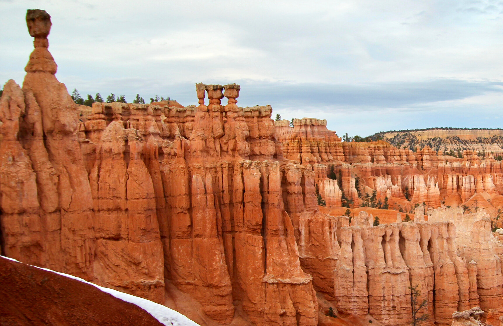
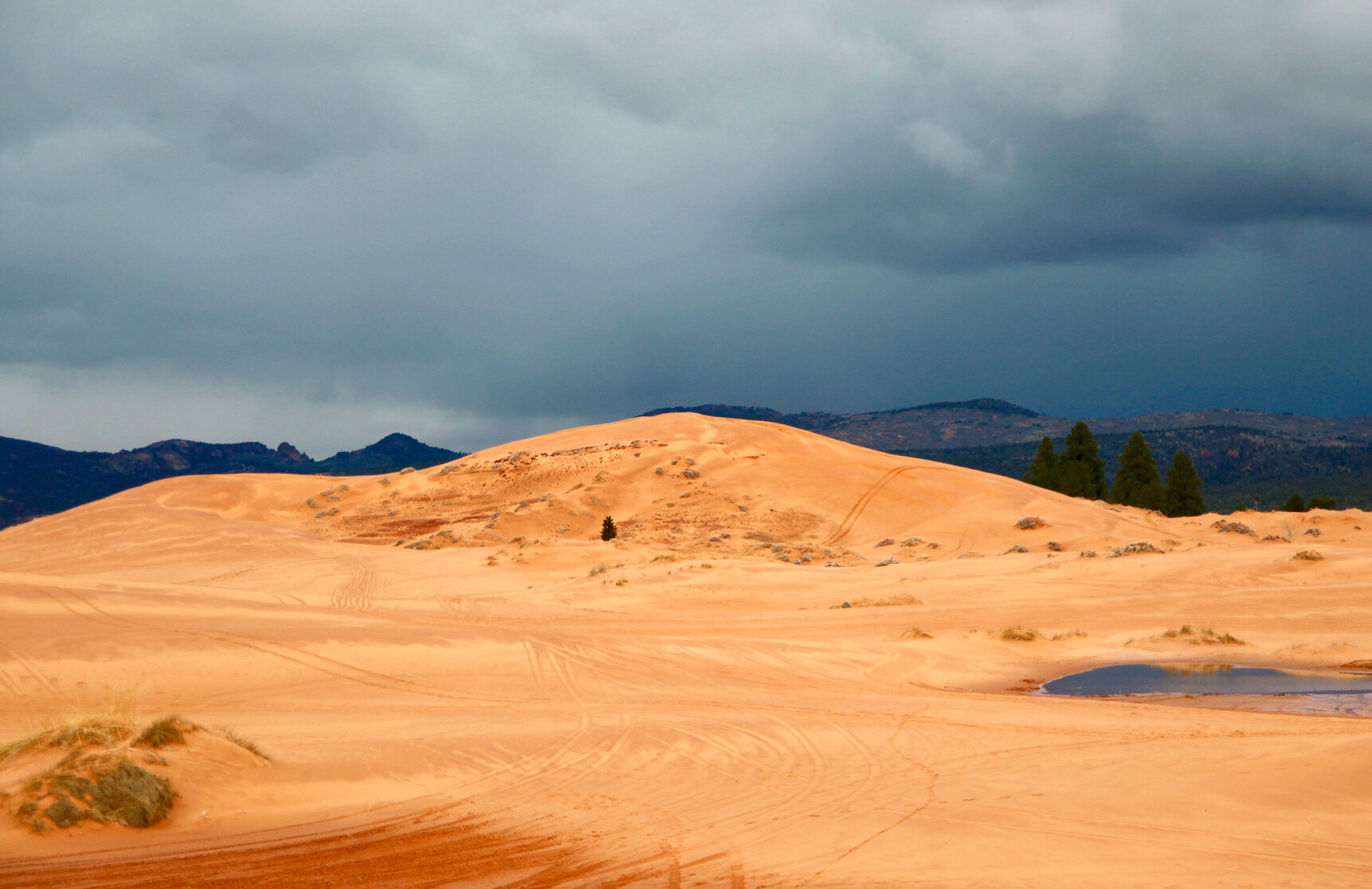
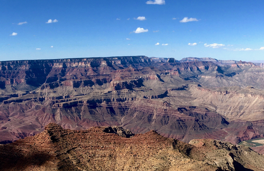
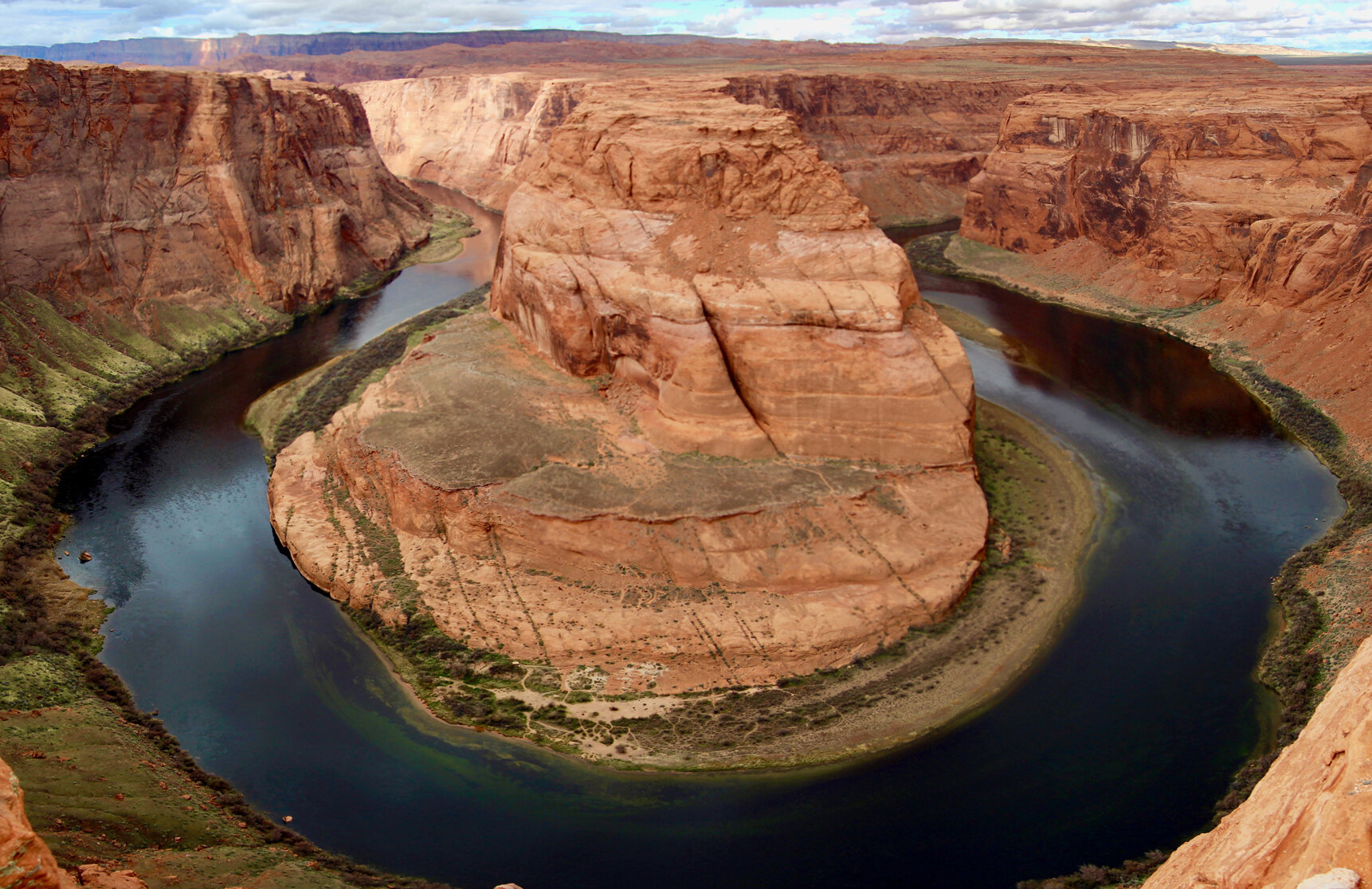
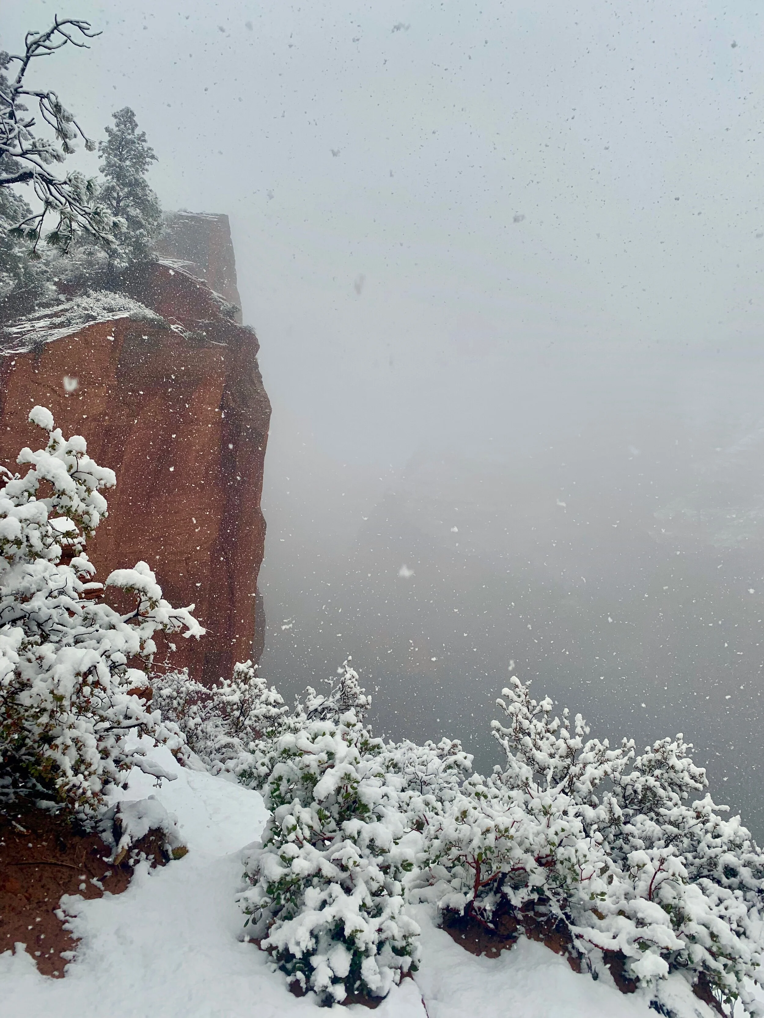
Gallery


How does it rank?

Nearby Destinations